Marine Push
Published at 13:16 on 27 April 2018
I’ve been out of town camping the past several days, taking advantage of the warm, dry weather while it lasts. I just got back home before noon today.
Of course, the warm weather didn’t last. It never does, particularly this early in the season. I awoke in the early morning hours and could tell that the humidity had risen. When the sun rose, there was a damp chill to the air, and the morning sunshine did not quickly warm things like it had the past few days, particularly on Thursday.
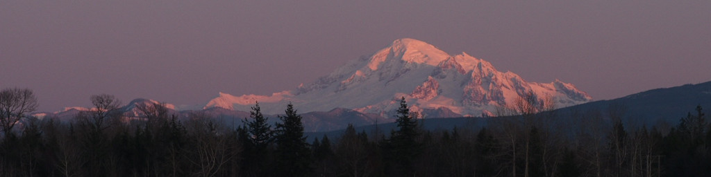
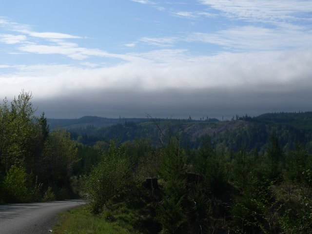
In fact, I was lucky this morning, having camped in one of the few areas that stayed clear overnight. While leaving, I could see that tatters of clouds were clinging to some of the ridges. A few miles later, I was met by the sight of a wall of low marine overcast, which had not yet totally pervaded the area where I had been, but which was evidently fated to soon do so. Most of the remaining drive back home was in overcast conditions.
This is a common pattern during our warmer months. A surface low offshore interferes with the normal onshore flow: typically, heating inland will cause lower air pressure (warm air being less dense than cold) which in turn serves to draw the cool air inland, moderating our temperatures. When there’s a surface low offshore, it keeps the air pressure there lower than inland, even though it’s often really starting to warm up under clear skies. Our natural air conditioning turns off for a few days.
If the same pattern happens during the winter months, we typically don’t get so extraordinarily warm, because there’s simply not enough hours of sunlight to heat things up at low levels. Instead, the clear skies overnight help things cool down on the long winter nights (by enabling the radiation of long-wave infrared, which clouds tend to reflect, out to space). It may be getting warmer and warmer aloft, but at the surface it stays quite cool. This inverts the normal order of things, which is that temperatures get cooler as one gets higher, and so is called a temperature inversion.
If the pattern starts when the ground is wet (as it often is, in the winter), the air at the surface tends to quickly become saturated, and we get a prolonged period of fog, low clouds, and cool to cold temperatures at the surface. We also get poor air quality, since the cold, stagnant air at the surface doesn’t let pollutants dissipate easily.
But back to the warmer months. The warm, dry weather is enabled, to reiterate, by a surface low offshore. When that low moves east over land, its effect is reversed: the low pressure area is over the area of warm air, and the tendency for warmer air to be less dense is amplified. Not only that, it’s usually abnormally warm inland, further amplifying the onshore trend. Marine air assertively floods inland, sometimes vigorously enough to prompt small craft advisories in the Strait of Juan de Fuca.
With the cool, moist air comes low clouds and sometimes fog and drizzle. This is the marine push. The heat wave is over.