El Niño is Coming
Published at 07:41 on 27 July 2015
That much seems sure.
Yes, that’s what the experts said last year, too. But not really: If you dug into the details, last summer there were signs of a possible El Niño, but many of them were muted and wavered. It was a “this is probably going to happen but we’re not completely sure” type event.
This year, the signals are strong, and are consistently getting stronger over time. That means something is almost certainly up. The question this year is not whether the coming winter will be an El Niño winter, but what sort of El Niño winter it will be.
Many in journalism are playing up the angle on how strong the signs are. The rub is that super-strong El Niño events are super-rare. The 1998 event was the strongest in history. So the chance of the coming winter being as strong or stronger, while it exists and is actually plausible given the evidence, is still a pretty remote chance.
Odds simply don’t favor it; they favor something weaker. So far, the signals have been growing and growing over recent months. But there’s nothing to say they won’t stop growing, and start wavering. Mind you, everything will still be squarely in El Niño territory if that happens, just not a super-strong event. More of a garden-variety one.
What’s up for us in the Pacific Northwest? If you go here, you’ll see that the overall correlations are not as profound here as there are in California. Temperatures have very little signal, and precipitation seems to end up slightly drier. If (and note the if) it’s a super-strong event, as it may turn out to be, then temperatures end up distinctly warmer than normal and it ends up slightly wetter than normal.
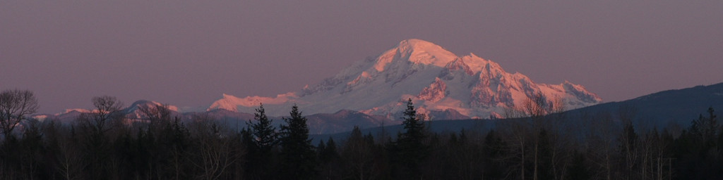
That’s bad news for snowpack in our mountains, particularly after last winter being so terrible. But odds are it will be less terrible than last winter, which was so bad that even most El Niño winters had far better snowpack.
What’s interesting (in the overall situation) is the temperature disconnect between coastal and inland areas of the Northwest. (Inland areas end up distinctly warmer, but there’s little or no overall temperature signal on the coast.)
That’s explainable by there being far fewer arctic air outbreaks in El Niño winters. (In fact, the warmer winters in the while US from the Midwest east are.) It’s rare for such outbreaks to make it past the Cascades, so the loss of one such event (if an arctic front makes it across the mountains, it’s rare for it to happen more than once in a given winter) doesn’t affect temperatures here on the west side much. By contrast, arctic outbreaks are a typical winter feature east of the Cascades, and in particular east of the Rockies, so the loss of a good fraction of those would be expected to have a major effect.