Surreal Trip Experience No. 2: Road
Published at 09:58 on 15 July 2015
Highway 20 is officially the northernmost road through Washington State, much like the Crowsnest Highway is the southernmost one through British Columbia. Both roads are very scenic as they engage in feats of engineering to circumvent obstacles which otherwise could be circumvented by crossing the 49th parallel.
But I digress. Highway 20 is officially the northernmost road through Washington state. While studying my map of the Okanogan National Forest, I discover another road even further north going from the hamlet of Loomis to Winthrop. It involves a long gravel segment, and there are two Forest Service campgrounds along it, which is convenient, since if I’d take that road I’d probably be going by at about the time when I’d want to stop for the night. One of those campgrounds is listed as having an elevation of 6800 feet, which is the highest campground I’ve ever run across in Washington. This pretty much decides that I’m going to take that road.
It’s signed as Toats Coulee Road and breaks off from the road to Palmer Lake just north of Loomis. I pass several fire camps before I make the turn. Oddly, there’s no column of smoke visible anywhere on the horizon.
The road starts as your typical primary paved county road: narrower than your typical state highway, with tighter curves, but still a pretty good road. Soon it loses lane striping. It starts climbing. After I pass the site of an old power plant and cross a cattle guard, the quality of the maintenance decreases and the number of potholes increases. Pretty soon it’s obvious that it’s been some time since the road has seen any sort of maintenance at all. Huge potholes crater it. In a few sections, the pavement has crumbled entirely and it’s now a gravel road. Since these have been recently graded, they offer a superior ride to the pothole-cratered paved sections.
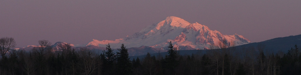
I see a pickup truck with the name of a fire agency on it parked at a scenic viewpoint. I stop to take a few pictures myself then query the occupant about the fire. It apparently was burning pretty vigorously up to a few days ago, but recent rains have really put the damper on it, hence the lack of a smoke column.
The road continues to get worse. Weeds and shrubbery encroach on it from the sides. Aside from the one parked truck, I haven’t seen any other vehicles on it. The empty nature of the road plus its decripitude gives an eerie, post-apocalyptic feeling to my drive. Deer cross the road in front of me multiple times.
After miles of dodging potholes, a welcome sight: the end of the badly-maintained pavement. What appears to be the “main” road continues ahead as a recently graded two-lane gravel road, but my map clearly indicates it dead ends after a half dozen more miles. The road I want is the one-lane gravel one branching off to the left.
It’s very lightly traveled. Grass grows in the middle of it. Yet the worn ruts are grass-free, and my sources indicated that the road is indeed open all the way through to Winthrop. It enters a burned area and for mile after mile it goes from one ridge to another, switchbacking its way up and down the ridges when it crosses valleys. It’s mostly in pretty good shape but the odd eroded spot is hard to see in advance, which keeps me from going faster than about 20 mph. I eventually do meet a vehicle coming in the other direction. We’re both startled to see someone else on the road. The other driver confirms that he started from the other end, and is floored when I say where I have come from on it. Apparently he didn’t have a map and is just following the road to see where it goes.
It’s about 5:00 in the evening when I finally come to the campground. It’s small (only six sites) and completely empty. I snag the best site (the only one with fully intact trees around it; the others all have varying degrees of fire damage).
I discover that the water jug in the back of my truck, despite being secured, has tipped over. Worse, despite there being a plug in the air hole, the pressure difference between 900 feet elevation (at Tonasket, where I verified it was securely plugged) and 6800 feet (where I was then) had caused pressure to build up to the point where the stopper had popped out of the hole. So not only was I virtually out of water, there was a mess in the back of the truck.
Thankfully, the ribbed design of the truck bed plus drain holes intended to let rain out had minimized the impact of the mishap. The campground’s name is Tifffany Spring, which was a big hint at a solution to the water shortage, and indeed the namesake spring was easy to locate. It had but a small pool, largely obscured by a lush growth of sedges, but with clear cold water which was deep enough to fill containers with. Between spring water for cooking and washing with and the remaining water in my jug for drinking as-is, I was set for an overnight stay.
It was a treat to have the luxury of car camping with sheets and blankets off the ground in a location so remote and high-up that one would normally have to backpack there and sleep on the ground in a small tent with a thin pad on irregular surface.