Back from Wyoming
Published at 19:15 on 14 October 2016
More precisely, back from a nearly 2-week road trip that went as far east as western Wyoming. It involved seeing a part of the country I had always wanted to see, revisiting the place I finished up my college degree, helping a friend collect environmental sensors from the field, a quick swing through Yellowstone National Park, seeing a significant chunk of Montana for the first time, and visiting some of my companion’s friends in rural Idaho.
I had always wanted to see the Malheur basin ever since the area caught my eye on highway maps as a teen. Alas, it’s been a dry year, and the Federal government is still (understandably) jittery that right-wing extremists will try re-occupying the refuge headquarters, which meant that:
- The area was nowhere near as lush as I imagined it; water levels were sufficiently low that many of the wetlands had dried out, and
- It was impossible to see Malheur Lake itself, because the only road providing access to it passes through the headquarters compound, which is still very much off-limits.
Before we got there, I was studying the DeLorme Atlas of Oregon while my companion drove and noticed a place called Glass Butte that our route would soon skirt. I surmised (correctly) that the name alluded to obsidian deposits, so an impromptu side-trip was scheduled in the hopes that it might prove to be the place where one can find the rare red-and-black obsidian I’ve seen in collections from Oregon (as opposed to the more common plain black kind). Indeed it was.
I did then visit a real oasis in the desert: the Cache Valley of northern Utah and southern Idaho. It’s an area I’m very familiar with, having attended Utah State University for two years. It was a nice surprise that the valley was still very much rural and had not filled in with houses. The extensive wetlands in its bottom were, in contrast to the mostly dried-out ones at Malheur National Wildlife Refuge, very lush and green.
The college campus had of course changed a lot since I had visited, but I chose to focus on what had not changed. The administration has done a good job of preserving the integrity of the more historical parts of campus, focusing on putting the new buildings where large parking lots used to be, so many campus views were precisely as I had remembered them.
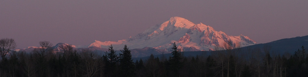
It’s little-known except by locals, but that region also has some of the most spectacular fall colors in all of North America: in the surrounding mountains, the red and oranges of maples and the clear gold of the aspens contrast with the sombre green of firs. Nowhere else I can think of has all three elements (northern New England comes close, but doesn’t have the large numbers of aspens). Alas, it’s a short display that comes early, and true to form a storm and cold spell the week before had already left the trees mostly bare and blasted, despite it being the first week of October.
Then it was on to western Wyoming to collect the data loggers. That’s a place I visited a few times on day trips in my college years, so I got to see what Kemmerer (not much different) and Jackson (lots of new construction) looked like after about thirty years. That involved learning the hard way that my partner will call just about anything a “pretty good road,” even a rough track only suitable for four-wheel drive vehicles (my truck is only two-wheel drive and not suited for such routes). No lasting harm was done, and he did readily agree to cover the resulting towing bill. The weather was cold with snow flurries.
Then a short trip through Yellowstone. We spent a day watching geysers and saw about ten different ones erupt. They were all frequent performers. I can’t really be disappointed that it fell short of what I saw thirty years ago. That involved a simultaneous display of four major geysers (including Giantess, which erupts only irregularly) jetting hundreds of feet into the air.
I wish I had studied the maps more on the following day. Had I known we were going to pass through Butte, I would have scheduled a detour to some labor history sites, including the grave of Frank Little. My efforts at trying to do something impromptu were frustrated by it being both a Monday and a holiday; both the visitor information center and the labor history museum were closed.
We camped just east of Lolo Pass and that night were treated to the heaviest snowfall of the trip. That may sound dramatic, but even that just amounted to a light dusting. There was actually more snow at our campsite than there was at the summit of the pass! Highway 12 west of the pass has to be one of the loneliest highways in the lower 48 states; we drove for hours through forested mountains before we finally reached the small town of Lowell. Traffic was very light, maybe one vehicle every five minutes.
After spending the night with my travel partner’s friends near Riggins, we resumed driving west. It was a relief to see the sign welcoming us back to Washington as we crossed the bridge from Lewiston to Clarkston, even though it was the opposite side of the state and many more hours of driving lay ahead. It was nice to see things get progressively greener and greener with each passing mile from The Dalles to Cascade Locks.
My travel partner lives in Portland, where I had planned to spend the night. After hearing about the series of storms due to hit (high winds, heavy rain) I changed those plans and decided to rest a few hours then press on and try to beat the worst of the weather. I’ve been unpacking and tidying up since and after spending over a day doing so, it was time to type in this post.
It was fun, but it was also time to end when it did.